this post was submitted on 08 Dec 2024
335 points (98.6% liked)
Map Enthusiasts
3818 readers
220 users here now
For the map enthused!
Rules:
-
post relevant content: interesting, informative, and/or pretty maps
-
be nice
founded 2 years ago
MODERATORS
you are viewing a single comment's thread
view the rest of the comments
view the rest of the comments
Note how you can't easily see the US because we don't try to bend time to our will
Except for the two thirds of the year where you pretend the entire country (apart from Hawai'i and parts of Arizona) is 1300 km (that's 800 miles for those living in the 17th century) east of where it actually is.
edit: closing bracket
Yeah, and there are totally US state borders on this map. Just like in Russia for example.
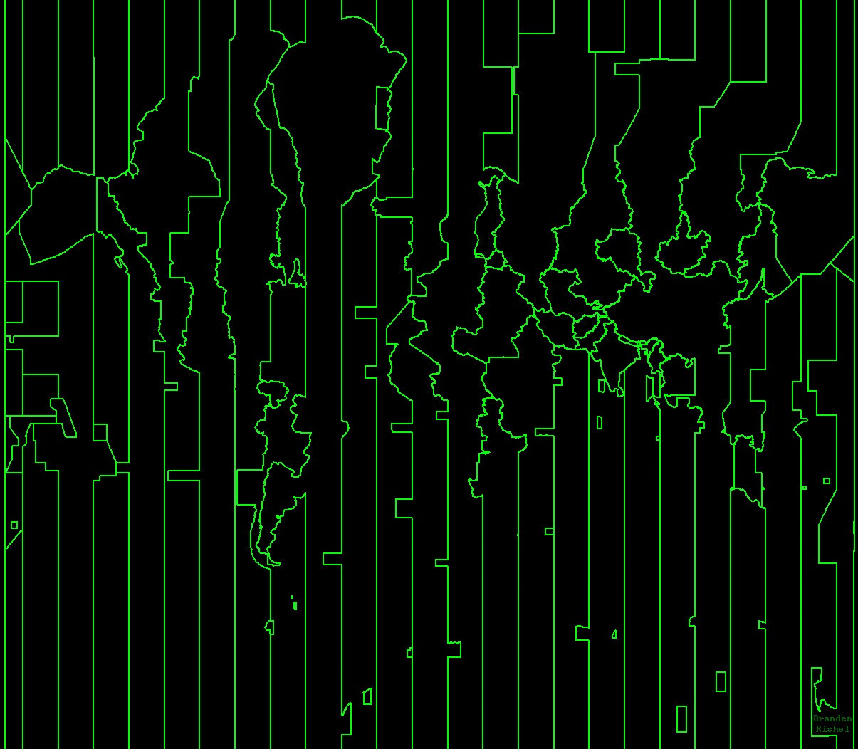
The only big recognizable country here is China.
I suppose it depends on your definition of "big", but Chile and Argentina are both extremely recognisable in this map. And Greenland is obviously very easy to see, including Danmarkshavn time.
But I think the single country which is the most recognisable (even more than China, which is messed up a little by Mongolia being in the same time zone) might be India, as well as neighbouring Pakistan and Sri Lanka. Afghanistan and Iran are also nearly perfectly shown here, as is Myanmar.
We literally do though lol